


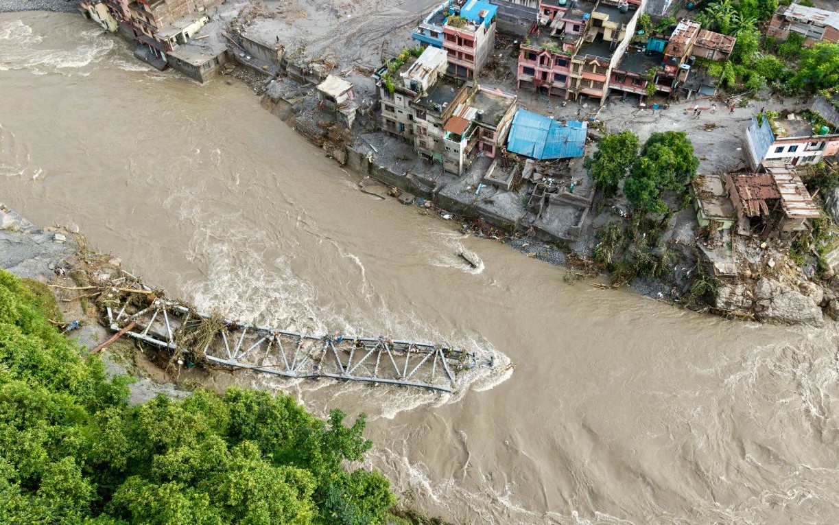
Nepal is monitoring two lakes upstream of a flood hit area where hundreds of people were killed on Wednesday, as authorities warn that the risk of further flooding will remain until the lakes have fully drained.
An official with Nepal’s Disaster Management Authority said one of the two lakes began overflowing on Friday, raising concerns about additional flooding downstream.
The lakes are located near the area where a suspected glacier collapse sent huge amounts of rock, ice, mud and debris into river systems. The resulting flood waves destroyed homes, swept away bridges and caused widespread devastation.
Satellite imagery showed that the two lakes are close to the suspected source of the disaster. Authorities are using satellite images to monitor changes in water levels, although the frequency and availability of imagery remain limited.
A Chinese rescue team captured aerial footage of one of the lakes on Thursday, showing large quantities of brown water accumulating in a basin. New satellite imagery on Friday indicated that water had begun draining from the lake.
However, another lake farther upstream appeared to be increasing in size and had a larger surface area than the first. No visible outlet was detected as of Friday morning, suggesting that water pressure could still be building.
Authorities are concerned that a sudden release of water from either lake could trigger another flood downstream.
Nepal plans to install cameras and sensors at locations downstream to provide earlier warnings. Officials are also considering deploying monitoring equipment by helicopter, including near the border town of Timure.
The measures are aimed at improving surveillance and giving communities more time to respond if water levels rise or another flood wave develops.












Leave a comment